

Pennine Way Map Booklet

403 Kč 403 Kč
Odesíláme do 5 až 7 dní
Sleva až 70% u třetiny knih
Map of the 270 miles (435km) Pennine Way National Trail, between Edale in the Peak District and Kirk Yetholm in the Scottish Borders. This booklet is included with the Cicerone guidebook to the trail, and shows the full route on OS 1:25,000 maps. This popular long-distance route typically takes three weeks to complete.
| Autor: | Dillon, Paddy |
| Nakladatel: | Cicerone Press |
| ISBN: | 9781852849078 |
| Rok vydání: | 2017 |
| Jazyk : | Angličtina |
| Vazba: | Paperback |
| Počet stran: | 136 |
Mohlo by se vám také líbit..
-
Walking on Madeira
Dillon, Paddy
-
Walking on the Azores
Dillon, Paddy
-

The GR5 Trail
Dillon, Paddy
-

Walking the South West Coast Path
Dillon, Paddy
-
Walking the Wicklow Way
Dillon, Paddy
-
The Great Glen Way
Dillon, Paddy
-

Walking in the North Pennines
Dillon, Paddy
-

Mountain Walking in Mallorca
Dillon, Paddy
-
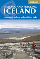
Walking and Trekking in Iceland
Dillon, Paddy
-
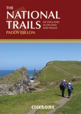
The National Trails
Dillon, Paddy
-

The Pennine Way
Dillon, Paddy
-
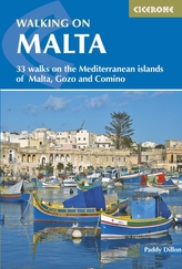
Walking on Malta
Dillon, Paddy
-
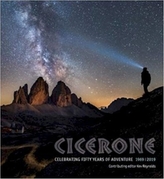
Fifty Years of Adventure
-
The Pennine Way - the Path, the Peopl...
McCloy, Andrew
-
The Camino Ingles and Ruta do Mar
Whitson, Dave; Perazzoli, Laura
-
Trekking the Kungsleden
Laing, Mike