



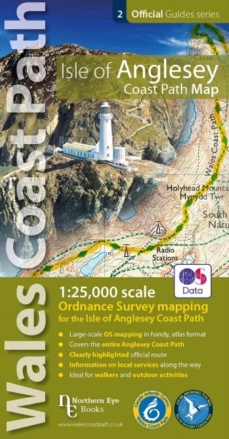
Isle of Anglesey Coast Path Map
342 Kč
Odesíláme do 3 až 5 dní
Sleva až 70% u třetiny knih
Enhanced, large scale (1: 25,000) Ordnance Survey mapping in a handy atlas format with all the mapping you need to walk a complete circuit of the Anglesey section of the Wales Coast Path. Continuous OS mapping covering the complete circuit from Menai Bridge. Contains coastal extracts from large scale Explorer maps 262 and 263.
| Nakladatel: | Northern Eye Books |
| ISBN: | 9781908632593 |
| Rok vydání: | 2019 |
| Jazyk : | Angličtina |
| Vazba: | Pamphlet |
| Počet stran: | 48 |
Mohlo by se vám také líbit..
-

Dědečku, vyprávěj - Etiketa pro kluky...
Ladislav Špaček
-

Jak to funguje v přírodě - Podívej se...
Daynes Katie, Tate Russell
-

Honzíkova cesta
Bohumil Říha
-

Moje první čtení
Havlíková Magda
-

Jak to chodí na světě - Více než 80 o...
neuveden
-

První obkreslovací kartičky - Zvířátka
neuveden
-

Staré řecké báje a pověsti
-

Šmalcova abeceda
Petr Šmalec
-

Jak se máš, Eliško?
Sunková Lucie
-

Tajemství srdce
Váchová Šárka
-

Kouzelná třída, příběh pokračuje
Pospíšilová Zuzana, Trsťan Drahomír
-

Medvídek Bruno
-
Pub Walks
Crow, Vivienne
-

Pub Walks Pembrokeshire
Kelsall, Dennis
-

Walks with History
Kew, Frank
-

Tea Shop Walks
Dakin, Chiz