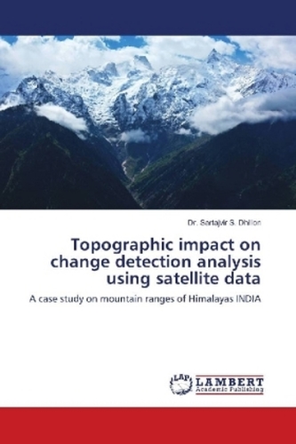
Topographic impact on change detection analysis using satellite data
21
%
1118 Kč 1 408 Kč
Sleva až 70% u třetiny knih
This masterwork on Topographic influence of change detection analysis using satellite data involved different types of correction such as geometric, atmospheric, radiometric and topographic to overcome the undesirable effect from multi-spectral satellite imagery. Recently, we have seen exponential growth in the usage of multi-spectral data in different application such as monitoring of damage assessment, monitoring of land-use land-cover (LULC), snow avalanche or flash floods and change detection analysis. Therefore, it necessary to perform the preliminary steps before proceeding for further analysis. This book is primarily intended as a textbook for researcher in the field of satellite image processing, remote sensing, change detection analysis, topographic corrections. It is expected that such corrections in preliminary steps could play an effective role in operational monitoring or mapping of LULC. The different topographic correction methods are compared and then applied suitable topographic correction method for snow cover Himalaya is applied for change detection analysis. In addition, this process has applied for two sensor satellites (AWiFS and MODIS) data.
| Autor: | Dhillon, Dr. Sartajvir S. |
| Nakladatel: | LAP Lambert Academic Publishing |
| Rok vydání: | 2018 |
| Jazyk : | Angličtina |
| Vazba: | Paperback / softback |
| Počet stran: | 112 |


