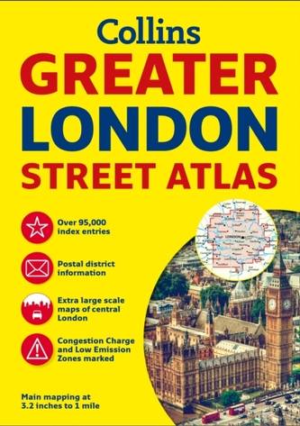
Greater London Street Atlas
11
%
473 Kč 530 Kč
Sleva až 70% u třetiny knih
The ultimate street atlas of London. It features incredibly detailed street level maps, with over 40 categories of information, covers 1660 square miles in and around London and includes over 95,000 street names. This is the definitive reference atlas for London.
| Autor: | Collins Maps |
| Nakladatel: | HarperCollins Publishers |
| ISBN: | 9780008112790 |
| Rok vydání: | 2016 |
| Jazyk : | Angličtina |
| Vazba: | Paperback / softback |
| Počet stran: | 484 |
Mohlo by se vám také líbit..
-

Collins Children's World Map
Collins Maps
-
Short walks in the Peak District
Collins Maps
-
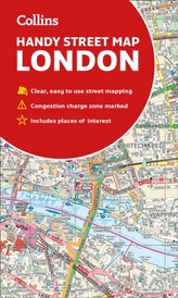
Collins London Handy Street Map
Collins Maps
-
Collins Children's Picture Atlas
Collins Maps
-
Collins World Atlas: Complete Edition
Collins Maps
-
The Complete History of Middle-Earth
Christopher Tolkien
-

Nick and Charlie
Alice Oseman
-

The Little Teashop in Tokyo
Julie Caplinová
-

Trick Mirror
Tolentino, Jia
-
Animal Farm
George Orwell
-

Own the Day, Own Your Life
Marcus, Aubrey
-

The Greatest Secret
Rhonda Byrne
-
The Return of the Shadow
Tolkien J.J.R
-

Shadow Of The Fox
Julie Kagawa
-

Fahrenheit 451
Ray Bradbury
-

The Constant Princess
Philippa Gregory


