



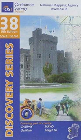
Galway. Mayo
277 Kč
Sleva až 70% u třetiny knih
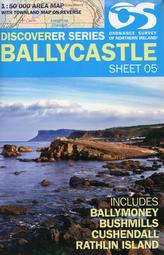
The Discovery Series are designed for tourist and leisure activities. Each one covers an area of 40km x 30km at the scale of 1:50,000. There are 93 sheets in the series. 75 are produced by Ordnance Survey Ireland and 18 by Ordnance Survey Northern Ireland. The maps produced by Ordnance Survey Northern Ireland are called the Discoverer Series.
| Autor: | Ordnance Survey |
| Nakladatel: | Ordnance Survey |
| ISBN: | 9781908852304 |
| Rok vydání: | 2014 |
| Jazyk : | Angličtina |
| Vazba: | Sheet map, folded |
Mohlo by se vám také líbit..
-

Skye - Trotternish and the Storr
Ordnance Survey
-
Loch Morar and Mallaig
Ordnance Survey
-

Isle of Man
Ordnance Survey
-
South Skye & Cuillin Hills
Ordnance Survey
-
North York Moors - Eastern Area
Ordnance Survey
-
North Skye, Dunvegan & Portree
Ordnance Survey
-

Loch Lomond South, Dumbarton & H...
Ordnance Survey
-
Thurso and John O'Groats
Ordnance Survey
-

Skye - Sleat
Ordnance Survey
-
Iona, Staffa and Ross of Mull
Ordnance Survey
-

Orkney - Hoy, South Walls and Flotta
Ordnance Survey
-
The Ordnance Survey Great British Tre...
Ordnance Survey
-

Lake District & Cumbria
-
OSNI Discoverer Series 1:50,000 - Sh...
-
Hadrian's Wall
-

Isle of Wight