

Pitlochry & Loch Tummel, Aberfeldy, Kinloch Rannoch & Schiehallion

332 Kč
Odesíláme do 3 až 5 dní
Sleva až 70% u třetiny knih
OS Explorer is the Ordnance Survey's most detailed map and is recommended for anyone enjoying outdoor activities like walking, horse riding and off-road cycling. Providing complete GB coverage the series details essential information such as youth hostels, pubs and visitor information as well as rights of way, permissive paths and bridleways.
| Autor: | Ordnance Survey |
| Nakladatel: | Ordnance Survey |
| ISBN: | 9780319242889 |
| Rok vydání: | 2015 |
| Jazyk : | Angličtina |
| Vazba: | Sheet map, folded |
Mohlo by se vám také líbit..
-

Stroud, Tetbury and Malmesbury
Ordnance Survey
-
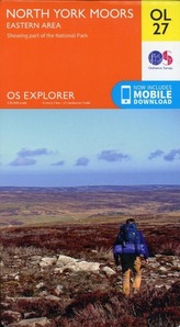
North York Moors - Eastern Area
Ordnance Survey
-

Loch Morar and Mallaig
Ordnance Survey
-

Skye - Trotternish and the Storr
Ordnance Survey
-

Isle of Man
Ordnance Survey
-
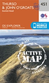
Thurso and John O'Groats
Ordnance Survey
-

Skye - Sleat
Ordnance Survey
-

Iona, Staffa and Ross of Mull
Ordnance Survey
-

Isle of Man
Ordnance Survey
-

Orkney - Hoy, South Walls and Flotta
Ordnance Survey
-
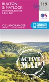
Buxton & Matlock, Chesterfield, ...
Ordnance Survey
-

Loch Lomond South, Dumbarton & H...
Ordnance Survey
-
OSNI Discoverer Series 1:50,000 - Sh...
-
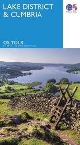
Lake District & Cumbria
-

Kintyre North
Ordnance Survey
-

Ben Kilbreck and Ben Armine
Ordnance Survey