

2020 Collins Essential Road Atlas Britain and Northern Ireland

20
%
354 Kč 444 Kč
Sleva až 70% u třetiny knih
This A4 road atlas with popular lie-flat spiral binding features clear, detailed road mapping, at a scale of 3.2 miles to 1 inch (1:200,000) for England, Wales and Southern Scotland and at 4.2 miles to 1 inch (1:266,000) in Northern Scotland, and including Northern Ireland with land height shown by attractive layer colouring.
| Autor: | Collins Maps |
| Nakladatel: | HarperCollins Publishers |
| ISBN: | 9780008318703 |
| Rok vydání: | 2019 |
| Jazyk : | Angličtina |
| Vazba: | Spiral bound |
| Počet stran: | 344 |
Mohlo by se vám také líbit..
-
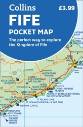
Fife Pocket Map
Collins Maps
-
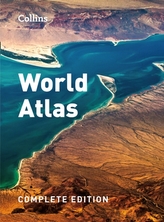
Collins World Atlas: Complete Edition
Collins Maps
-

Collins Children's World Map
Collins Maps
-
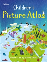
Collins Children's Picture Atlas
Collins Maps
-

Collins Butterfly Guide
Tolman, Tom
-
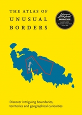
The Atlas of Unusual Borders
Nikolic, Zoran
-
The Element Encyclopedia of 5000 Spells
Illes, Judika
-
Encyclopedia of Essential Oils
Lawless, Julia
-
Calorie Counter
-

The Element Encyclopedia of Secret Si...
Nozedar Adele
-

Spiders
Hillyard, Paul
-

The Element Encyclopedia of 20,000 Dr...
Cheung Theresa
-
The Great Arc
Keay, John
-
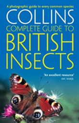
British Insects
Michael Chinery
-
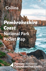
Pembrokeshire Coast National Park Poc...
National Parks UK; Collins Maps
-

North York Moors National Park Pocket...
National Parks UK; Collins Maps