

London Pocket Atlas

118 Kč 123 Kč
Sleva až 70% u třetiny knih
This fully updated atlas features clear Collins street mapping of Central London and the surrounding area. Coverage is from Chiswick in the west to Barking in the east, and Hampstead in the north to Dulwich in the south. Scale is 1:20,000 (3.17 inches to 1 mile). Coverage of Central London is at 1:12,500 (5.1 inches to 1 mile).
| Autor: | Collins Maps |
| Nakladatel: | HarperCollins Publishers |
| ISBN: | 9780008370022 |
| Rok vydání: | 2020 |
| Jazyk : | Angličtina |
| Vazba: | Paperback / softback |
| Počet stran: | 144 |
Mohlo by se vám také líbit..
-

Collins Children's World Map
Collins Maps
-
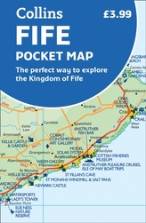
Fife Pocket Map
Collins Maps
-
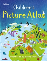
Collins Children's Picture Atlas
Collins Maps
-

Collins World Atlas: Complete Edition
Collins Maps
-

Paddington at St Paul\'s
Michael Bond
-

Spanish Ages 5-7
Collins Easy Learning
-

Spanish Ages 7-9
Collins Easy Learning
-
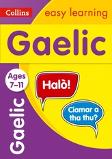
Easy Learning Gaelic Age 7-11
Collins Easy Learning
-

Year 3 Maths and English KS2 Targete...
Collins KS2
-

Shinoy and the Chaos Crew: The Day of...
Chris Callaghan
-

Face to Face with Manatees
Skerry, Brian
-

Tara Binns: Creative Coder
Rajan, Lisa
-

KS2 Science Practice Workbook
Collins KS2
-

Animal Homes
Evans, Shira
-
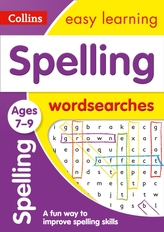
Spelling Word Searches Ages 7-9
Collins Easy Learning
-

Face to Face with Whales
Nicklin, Flip