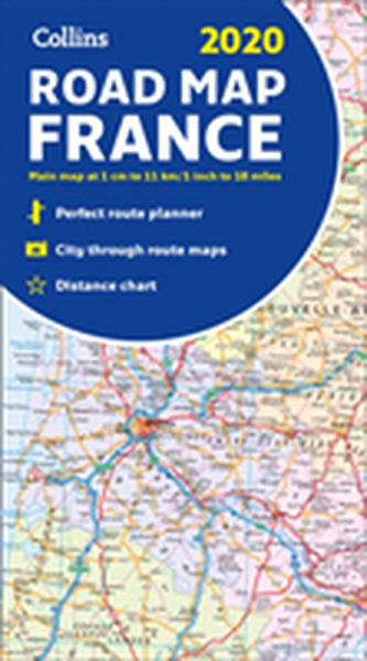
2020 Collins Map of France
6
%
139 Kč 148 Kč
Sleva až 70% u třetiny knih
New edition of annually revised, politically coloured road map of France at 18 miles to 1 inch / 11km to 1cm (1:1,120,000). The map shows individual department by name, and cities, towns, roads, European route numbers, motorways and toll motorways are clearly shown, making it the ideal map for planning and route-finding.
| Autor: | Collins Maps |
| Nakladatel: | HarperCollins Publishers |
| ISBN: | 9780008319779 |
| Rok vydání: | CZE |
| Jazyk : | Čeština |
| Vazba: | CZE |
Mohlo by se vám také líbit..
-

Collins London Handy Street Map
Collins Maps
-

Collins World Atlas: Complete Edition
Collins Maps
-

Collins Children's World Map
Collins Maps
-

Short walks in the Peak District
Collins Maps
-

Collins Children's Picture Atlas
Collins Maps
-

Collins Butterfly Guide
Tolman, Tom
-

The Great Arc
Keay, John
-

The Atlas of Unusual Borders
Nikolic, Zoran
-

The Element Encyclopedia of 5000 Spells
Illes, Judika
-

Encyclopedia of Essential Oils
Lawless, Julia
-

Calorie Counter
-

The Element Encyclopedia of 20,000 Dr...
Cheung Theresa
-

The Element Encyclopedia of Secret Si...
Nozedar Adele
-

Spiders
Hillyard, Paul
-

South Downs Park Rangers Favourite Walks
National Parks UK; Collins Maps
-

The Element Encyclopedia of Witchcraft
Illes, Judika


