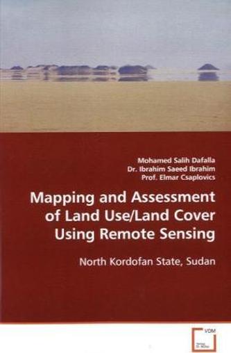
Mapping and Assessment of Land Use/Land Cover Using Remote Sensing
21
%
1195 Kč 1 505 Kč
Sleva až 70% u třetiny knih
Sudan as a Sahelian country faced numerous drought §periods resulting in famine and mass immigration. §Spatial data on dynamics of land use and land cover §is scarce and/or almost non-existent. The North §Kordofan State is located in the centre of Sudan . §The region generally yields reasonable harvests of §rainfed crops and grasslands supports plenty of §livestock. But any attempts to develop medium- to §long-term strategies of sustainable land management §have been hampered by the impacts of drought and §desertification over a long period of time. This §resarch aimed to determine and analyse the dynamics §of change of land use/land cover classes.
| Autor: | Dafalla, Mohamed Salih |
| Nakladatel: | VDM Verlag Dr. Müller |
| Rok vydání: | 2008 |
| Jazyk : | Angličtina |
| Vazba: | Paperback / softback |
| Počet stran: | 124 |
Mohlo by se vám také líbit..


