

A Map of Medieval London

16
%
311 Kč 368 Kč
Odesíláme do 3 až 5 dní
Sleva až 70% u třetiny knih
A full colour map showing London about 1270 to 1300 - its walls and gates, parish churches, early monasteries and hospitals, and a growing number of private houses. The city's streets and alleyways had been established.
| Nakladatel: | The Historic Towns Trust |
| ISBN: | 9780993469855 |
| Rok vydání: | CZE |
| Jazyk : | Čeština |
| Vazba: | CZE |
| Počet stran: | CZE |
Mohlo by se vám také líbit..
-

Škoda Octavia II. od 6/04 - Jak na to...
Etzold Hans-Rudiger Dr.
-

VW Golf/Jetta/Touran
Hans-Rüdiger Etzold
-

Škoda Fabia
Hans-Rüdiger Etzold
-

BMW 3.Typ E46
Hans-Rüdiger Etzold
-

VW Transporter T5
-

Ford Focusod 11/04/C-Max od 5/03
Hans-Rüdiger Etzold
-

VW Sharan/Ford Galaxy/Seat Alhambra o...
Hans-Rüdiger Etzold
-

Ford Fiesta Ford Fusion Mazda 2 2002-...
-

VW Tiguan
-

Skoda Roomster
-

Peugeot 207 od 2006 - Jak na to? č. 115
Pete Gill
-

Škoda Octavia I/Tour • 8/96–10/10 • J...
Etzold Hans-Rudiger Dr.
-
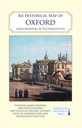
An Historical Map of Oxford: From Med...
-
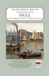
An Historical Map of Kingston Upon Hull
-

Bristol in 1480