

Topographische Karte und Satellitenbildkarte München

11
%
171 Kč 192 Kč
Sleva až 70% u třetiny knih
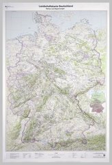
München, Blatt 27, ist Teil eines 30-teiligen Kartenwerks im Maßstab 1:250 000, mit dem Deutschland flächendeckend abdeckt wird.
Die topographische Landkarte München zeigt die Region u.a. mit Landshut, Passau, Freising, Straubing, Deggendorf, Nationalpark Bayerischer Wald, Hallertau und Innviertel.
Auf der Rückseite befindet sich eine Satellitenbildkarte (Sentinel-2 aus dem Copernicus Programm) mit dem Bereich entsprechend zur topographischen Karte.
Legende in Deutsch und Englisch.
| Nakladatel: | Bundesamt für Kartographie und Geodäsie |
| Rok vydání: | 2017 |
| Jazyk : | ENG-GER |
| Vazba: | Sheet map |
| Počet stran: | 2 |
Mohlo by se vám také líbit..
-

Milk and Honey
Kaur Rupi
-

Muž, který chtěl být šťastný
Laurent Gounelle
-

Člověk a jeho symboly
Carl Gustav Jung
-

Život naživo
Vladimír Kafka
-

Červená kniha
Carl Gustav Jung
-

Psychologie Atkinsonové a Hilgarda
S. Noel-Hoeksema; L. B. Frederickson; W. A. Wagenaar
-
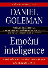
Emoční inteligence
Daniel Goleman
-
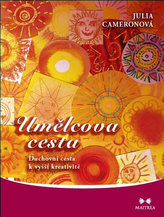
Umělcova cesta
Julia Cameron
-
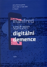
Digitální demence
Manfred Spitzer
-
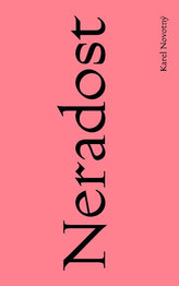
Neradost
Karel Novotný
-

Debordelizace hlavy
Ivo Toman
-

Červená kniha Čtenářská edice
Carl Gustav Jung; Sonu Shamdasani; John Peck
-
Landschaftskarte Deutschland 1 : 750 ...