

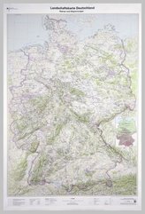
Topographische Karte und Satellitenbildkarte Görlitz

11
%
171 Kč 192 Kč
Sleva až 70% u třetiny knih
Görlitz, Blatt 16, ist Teil eines 30-teiligen Kartenwerks im Maßstab 1:250 000, mit dem Deutschland flächendeckend abdeckt wird.
Die topographische Landkarte Görlitz zeigt die Region mit Cottbus, Bautzen, Hoyerswerda, Zittau, Jelenia Gora, Nationalpark Sächsische Schweiz, Lausitz und Spreewald.
Auf der Rückseite befindet sich eine Satellitenbildkarte (Sentinel-2 aus dem Copernicus Programm) mit dem Bereich entsprechend zur topographischen Karte.
Legende in Deutsch und Englisch.
| Nakladatel: | Bundesamt für Kartographie und Geodäsie |
| Rok vydání: | 2017 |
| Jazyk : | ENG-GER |
| Vazba: | Sheet map |
| Počet stran: | 2 |
Mohlo by se vám také líbit..
-

Vánoční koledy
Kolektív
-

Nejznámější dětské písničky
Jaroslav Uhlíř; Zdeněk Svěrák
-
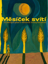
Měsíček svítí
Tereza Nová
-
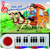
Jede, jede poštovský panáček
-

Já, písničkář 2
Tomáš Klus
-
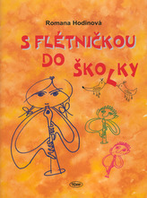
S flétničkou do školky
Romana Hodinová
-

12 ukolébavek
-
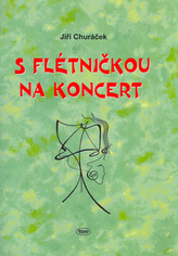
S flétničkou na koncert
Jiří Churáček
-

Zpívání nás baví 1.díl
Iveta Kateřina I. Poslední
-
Pasu, pasu písničky - CD
Patrasová Dáda
-
Nejkrásnější písničky z českých pohád...
neuveden
-

Zpívánky pro děti - CD
neuveden
-
Landschaftskarte Deutschland 1 : 750 ...