

Map of the Inland Waterways of Great Britain

308 Kč
Odesíláme do 3 až 5 dní
Sleva až 70% u třetiny knih
First published over 60 years ago when interest in reviving Britain's network of navigable and rivers was starting to gather pace, this map provides the best coverage of the system in England, Wales and Scotland. Distances, the number of locks and restricting dimensions are given for each waterway.
| Autor: | Stonebridge, Anni; Cumberlidge, Jane |
| Nakladatel: | Imray, Laurie, Norie & Wilson Ltd |
| ISBN: | 9781846238277 |
| Rok vydání: | 2016 |
| Jazyk : | Angličtina |
| Vazba: | Paperback |
| Počet stran: | 1 |
Mohlo by se vám také líbit..
-

Barefoot Horse Keeping
Stonebridge, Anni; Cumberlidge, Jane
-

Inland Waterways of Great Britain
Stonebridge, Anni; Cumberlidge, Jane
-
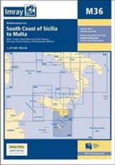
Imray Chart M36
Imray
-
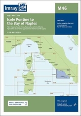
Imray Chart M46
Imray
-

Adriatic Pilot
Imray; Thompson, Trevor & Dinah
-

South Biscay
RCC Pilotage Foundation
-

Grenada to the Virgin Islands
Patuelli, Jacques
-
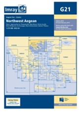
Imray Chart G21
Imray
-
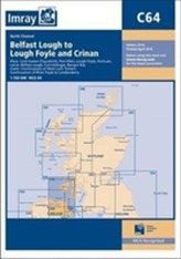
Imray Chart C64
Imray
-

Inland Waterways of the Netherlands
Busby, Louise
-
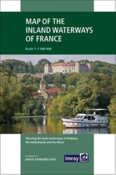
Imray
Edwards-May, David
-
Imray Chart M10
Imray
-
Imray Chart C36
Imray
-
Imray Chart G25
Imray
-

South China Sea
Imray; RCCPF; Winter, Jo
-
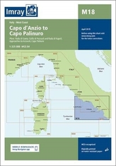
Imray Chart M18
Imray