

Imray Chart M17

7
%
672 Kč 726 Kč
Odesíláme do 3 až 5 dní
Sleva až 70% u třetiny knih
On this 2017 the latest known depths have been applied. Harbour developments at Civitavecchia and Fiumicino are included as is the restricted area on the approach to Anzio. The Corsican Channel TSS is shown, as are the extents of Marine Protected Areas on this chart. The chart specification has been improved to show coloured light flashes.
| Autor: | Imray |
| Nakladatel: | Imray, Laurie, Norie & Wilson Ltd |
| ISBN: | 9781846238765 |
| Rok vydání: | 2017 |
| Jazyk : | Angličtina |
| Vazba: | Sheet map |
| Počet stran: | 1 |
Mohlo by se vám také líbit..
-
Imray Chart M36
Imray
-
Imray Chart M46
Imray
-
Imray Chart M29
Imray
-
Imray Chart G21
Imray
-
Imray Chart C64
Imray
-
Imray Chart M10
Imray
-
Imray Chart C36
Imray
-
Imray Chart G25
Imray
-
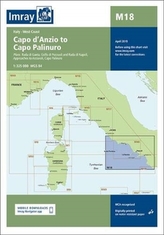
Imray Chart M18
Imray
-
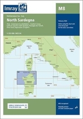
Imray Chart M8
Imray
-
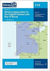
C18 Western Approaches to the English...
Imray
-
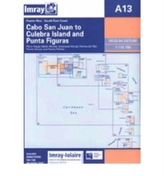
Imray Iolaire Chart A13
Imray
-
South Biscay
RCC Pilotage Foundation
-
Grenada to the Virgin Islands
Patuelli, Jacques
-
Inland Waterways of the Netherlands
Busby, Louise
-
Imray
Edwards-May, David