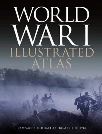
World War I Illustrated Atlas
526 Kč 590 Kč
WWI was a complex conflict: an air war, a land war fought in the Balkans, NW Europe, Italy, Africa, Turkey and the Middle East, and a naval war in the North Sea, South Atlantic, South Pacific and Indian Oceans. Including over 180 detailed maps, World War I Illustrated Atlas is an invaluable reference guide to this global war.
\n| Autor: | Neiberg, Professor Michael S |
| Nakladatel: | Amber Books Ltd |
| ISBN: | 9781838860912 |
| Rok vydání: | 2021 |
| Jazyk : | Angličtina |
| Vazba: | pevná |
| Počet stran: | 192 |
-

Panther Tank
Hughes, Dr Matthew; Mann, Chris
-
German Bomber Aircraft of World War II
Newdick Thomas
-

History of World War II
-
Abandoned Civilisations
Connolly Kieron
-
Norse Myths
Dougherty Martin
-
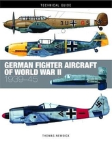
German Fighter Aircraft of World War II
Newdick Thomas
-
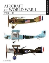
Aircraft of World War I 1914-1918
Herris, Jack; Pearson, Bob
-
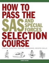
How to Pass the SAS and Special Forc...
Chris McNab
-

London
Horne, Alastair
-

Chinese Astrology
Trapp, James
-

The Renaissance
John Wright
-
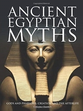
Ancient Egyptian Myths
Chambers, Catherine
-

Abandoned Industrial Places
Ross David
-

Classic Supercars
Nicholls, Richard
-

SAS and Special Forces Mental Toughn...
Chris McNab
-

Rail Journeys
Ross David


