

Collection of Four Historic Maps of Cornwall from 1610-1836

7
%
563 Kč 608 Kč
Sleva až 70% u třetiny knih
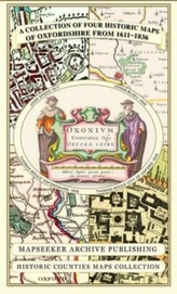
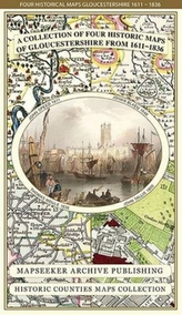
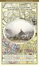
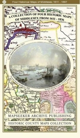
This folded map (890mm x 1000mm when unfolded) is an ideal souvenir for tourists to the County of Cornwall and also a valuable reference resource for local and family history research. It includes John Speeds map of 1610, Johan Blaue's map of 1648, Thomas Moules map of 1836 and the Plan of the City of Truro 1831 by Robert Dawson.
| Autor: | Mapseeker Archive Publishing; Line, Paul Leslie |
| Nakladatel: | Historical Images Ltd |
| ISBN: | 9781844918256 |
| Rok vydání: | 2014 |
| Jazyk : | Angličtina |
| Vazba: | Sheet map, folded |
| Počet stran: | 1 |
Mohlo by se vám také líbit..
-
A Collection of Four Historic Maps of...
Mapseeker Archive Publishing; Line, Paul Leslie
-
Collection of Four Historic Maps of ...
Mapseeker Archive Publishing; Line, Paul Leslie
-
Collection of Four Historic Maps of ...
Mapseeker Archive Publishing; Line, Paul Leslie
-
A Collection of Four Historic Maps of...
Mapseeker Archive Publishing; Line, Paul Leslie
-
A Collection of Four Historic Maps of...
Mapseeker Archive Publishing; Line, Paul Leslie
-
Collection of Four Historic Maps of ...
Mapseeker Archive Publishing; Line, Paul Leslie
-
Wildfire Through Staffordshire
Mapseeker Archive Publishing; Line, Paul Leslie
-
Collection of Four Historic Maps of ...
Mapseeker Archive Publishing; Line, Paul Leslie
-
Collection of Four Historic Maps of ...
Mapseeker Archive Publishing; Line, Paul Leslie
-
A Collection of Four Historic Maps of...
-
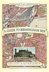
A Guide to Birmingham 1924
-
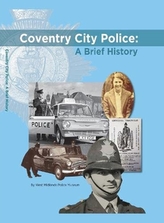
Coventry City Police: A Brief History
Brazier, Corinne
-

Birmingham The SinisterSide
Steve Jones
-
The Plans Of The Most Important Citie...