

The Mining & Manufacturing Districts 1836 Staffordshire and Worcestershire

446 Kč 447 Kč
Sleva až 70% u třetiny knih
This is a detailed map of the Manufacturing District (Black Country) that shows in colour the coal field and other types of mineral mining areas. The map shows the canal network that had been constructed up to that time and when folded out measures 890mm x 1000mm.
| Autor: | Bradford, Samuel; Mapseeker Publishing Ltd. |
| Nakladatel: | Historical Images Ltd |
| ISBN: | 9781844918188 |
| Rok vydání: | 2013 |
| Jazyk : | Angličtina |
| Vazba: | Sheet map, folded |
| Počet stran: | 1 |
Mohlo by se vám také líbit..
-

Coventry City Police: A Brief History
Brazier, Corinne
-

Birmingham The SinisterSide
Steve Jones
-
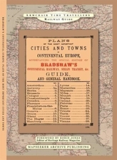
The Plans Of The Most Important Citie...
-

Wildfire Through Staffordshire
Mapseeker Archive Publishing; Line, Paul Leslie
-

A Guide to Birmingham 1924
-

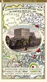
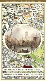
Collection of Four Historic Maps of ...
Mapseeker Archive Publishing; Line, Paul Leslie
-
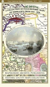
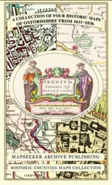
A Collection of Four Historic Maps of...
Mapseeker Archive Publishing; Line, Paul Leslie
-
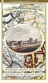
A Collection of Four Historic Maps of...
Mapseeker Archive Publishing; Line, Paul Leslie
-
A Collection of Four Historic Maps of...
-

Collection of Four Historic Maps of ...
Mapseeker Archive Publishing; Line, Paul Leslie
-
Collection of Four Historic Maps of ...
Mapseeker Archive Publishing; Line, Paul Leslie
-
A Collection of Four Historic Maps of...
Mapseeker Archive Publishing; Line, Paul Leslie
-

Collection of Four Historic Maps of ...
Mapseeker Archive Publishing; Line, Paul Leslie
-

Collection of Four Historic Maps of ...
Mapseeker Archive Publishing; Line, Paul Leslie