

Collection of Four Historic Maps of Kent from 1611-1836

596 Kč 599 Kč
Sleva až 70% u třetiny knih
This folded map (890mm x 1000mm when unfolded) is an ideal souvenir for tourists to the County of Kent and also a valuable reference resource for local and family history research. It includes 4 Historic Maps of Kent.
| Autor: | Bradford, Samuel; Mapseeker Publishing Ltd. |
| Nakladatel: | Historical Images Ltd |
| ISBN: | 9781844918317 |
| Rok vydání: | 2014 |
| Jazyk : | Angličtina |
| Vazba: | Sheet map, folded |
| Počet stran: | 1 |
Mohlo by se vám také líbit..
-

Coventry City Police: A Brief History
Brazier, Corinne
-

Birmingham The SinisterSide
Steve Jones
-
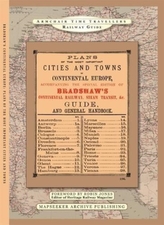
The Plans Of The Most Important Citie...
-

Wildfire Through Staffordshire
Mapseeker Archive Publishing; Line, Paul Leslie
-

A Guide to Birmingham 1924
-

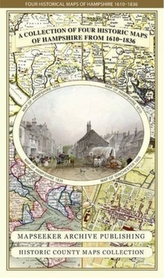
Collection of Four Historic Maps of ...
Mapseeker Archive Publishing; Line, Paul Leslie
-
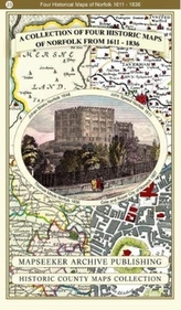
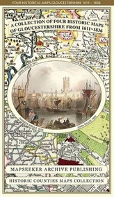
A Collection of Four Historic Maps of...
Mapseeker Archive Publishing; Line, Paul Leslie
-
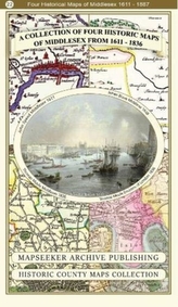
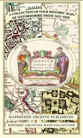
A Collection of Four Historic Maps of...
Mapseeker Archive Publishing; Line, Paul Leslie
-
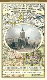
A Collection of Four Historic Maps of...
-
Collection of Four Historic Maps of ...
Mapseeker Archive Publishing; Line, Paul Leslie
-
Collection of Four Historic Maps of ...
Mapseeker Archive Publishing; Line, Paul Leslie
-
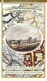
A Collection of Four Historic Maps of...
Mapseeker Archive Publishing; Line, Paul Leslie
-
Collection of Four Historic Maps of ...
Mapseeker Archive Publishing; Line, Paul Leslie
-

Collection of Four Historic Maps of ...
Mapseeker Archive Publishing; Line, Paul Leslie